
Satellite-Connected Drones: Extending Operations Beyond Cellular Coverage
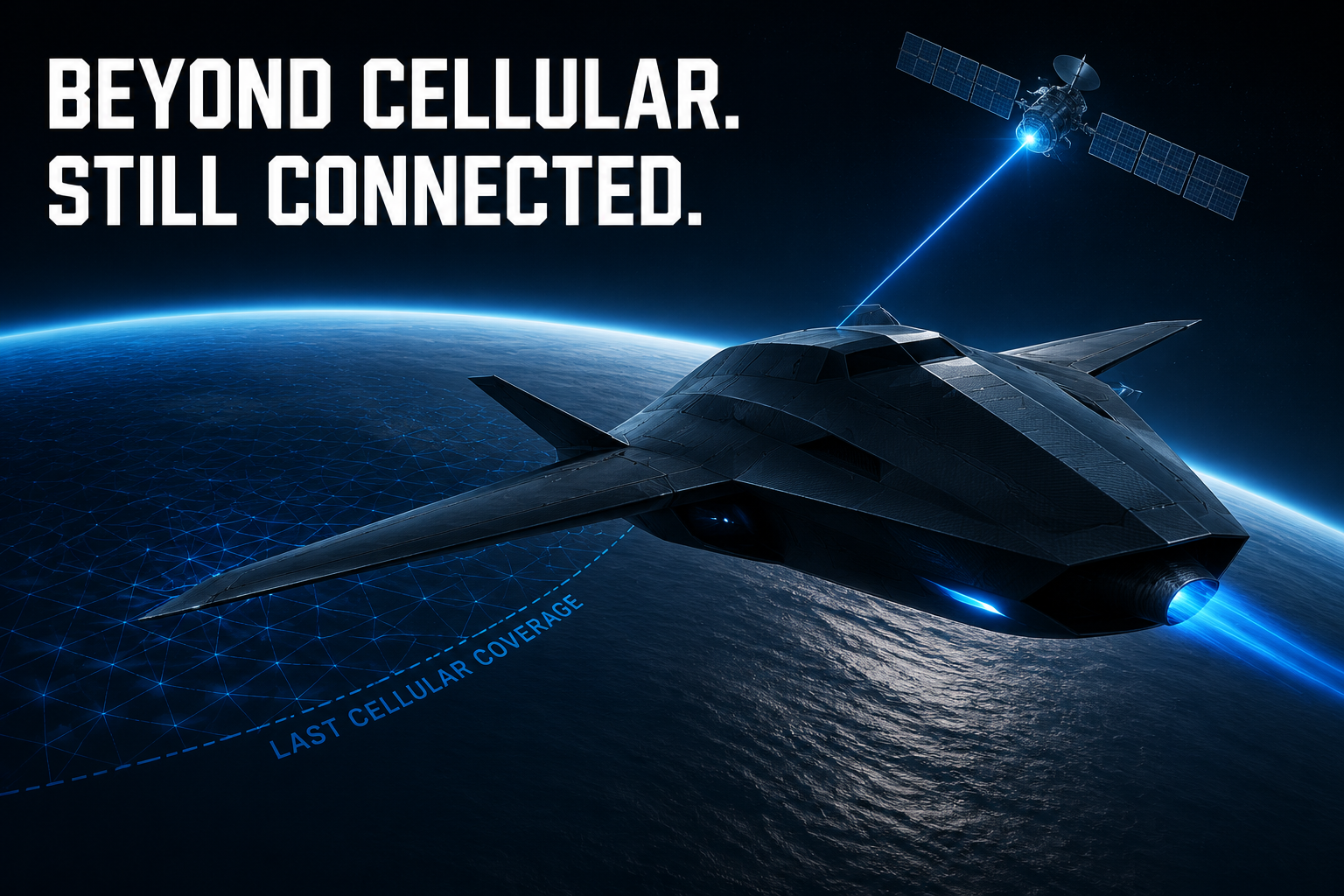
Beyond cellular coverage, connectivity stops being an IT feature and becomes part of the aircraft’s safety case.
Satellite communications can sustain command-and-control (C2), telemetry and mission data in remote regions—but only when engineered for failure. A resilient design combines direct radio, 4G/5G and satellite, scores link health and switches paths before service fails.
Orbit and spectrum are mission trade-offs. LEO usually lowers propagation delay but adds Doppler and frequent handovers; GEO provides broad, stable coverage with much higher latency. L-band is generally more tolerant of rain and antenna misalignment, while Ku/Ka supports higher throughput but needs tighter pointing and stronger fade margins. The terminal also costs mass, power and antenna field of view.
Separate traffic by criticality. Give low-rate C2 and aircraft-health telemetry strict priority and redundancy; compress, cache or store-and-forward high-volume imagery. Protect every path with mutual authentication, end-to-end encryption, anti-replay controls, protected keys and signed software. Satellite reach does not eliminate jamming, spoofing or blockage.
The drone must remain safe without connectivity. A deterministic lost-link state machine should select hold, diversion or contingency landing from approved rules, remaining energy, weather, geofences and traffic risk—not blindly ‘return home.’
Validate tail latency, jitter, packet loss, outages and handovers under banking, terrain masking, rain and congestion. Satellite connectivity extends reach; it does not authorize BVLOS flight. Detect-and-avoid, airspace integration, Remote ID where required, safety assurance and regulatory approval remain essential.
Explore more articles →